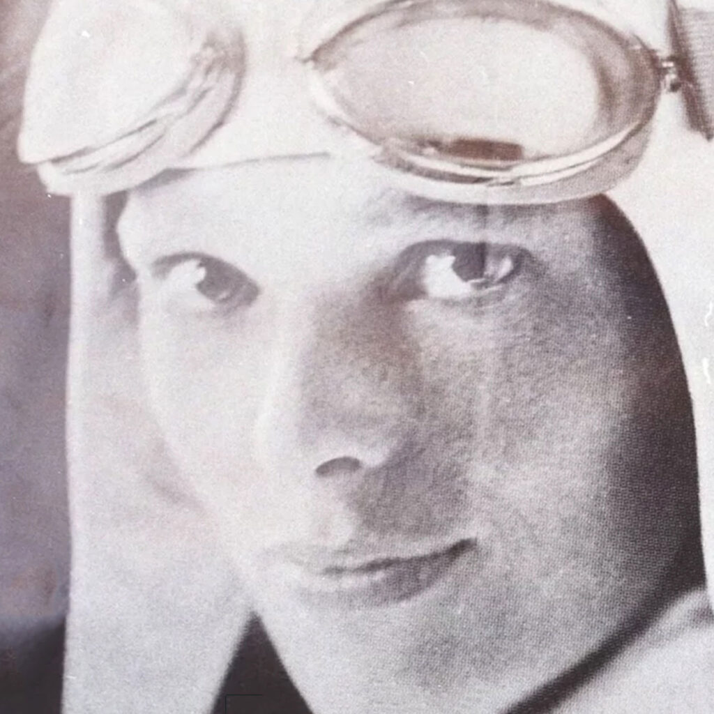
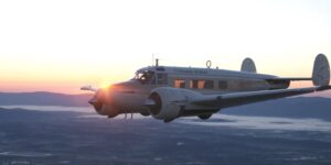
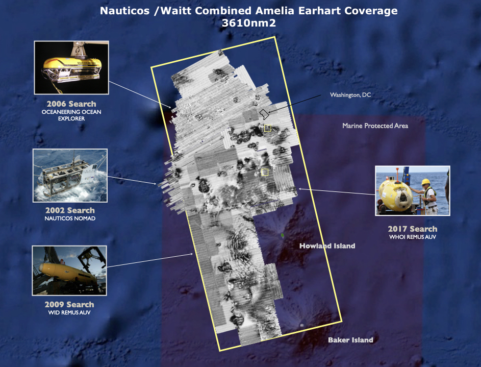
Amelia Rose Earhart is an around-the-world pilot, international keynote speaker, author, and artist. Known for her bold approach to adventure, she flew a single-engine Pilatus PC-12 around the globe in 2014 and has inspired audiences worldwide with her message of resilience and exploration. Now, Amelia is bringing her entrepreneurial energy and creative lens to the Nauticos team, helping to share the story of the next search for Amelia Earhart’s plane and rally the support needed to make it possible. With a background in journalism and a passion for connecting people to big ideas, Amelia is eager to bring the next Nauticos search to life — turning curiosity into action, and transforming one of history’s greatest mysteries into a mission the whole world can follow.
Follow the Nauticos journey on social channels and learn more about Amelia at www.AmeliaRoseEarhart.com
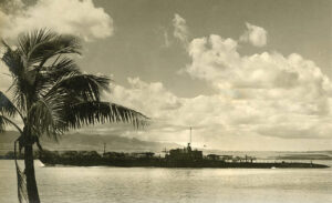
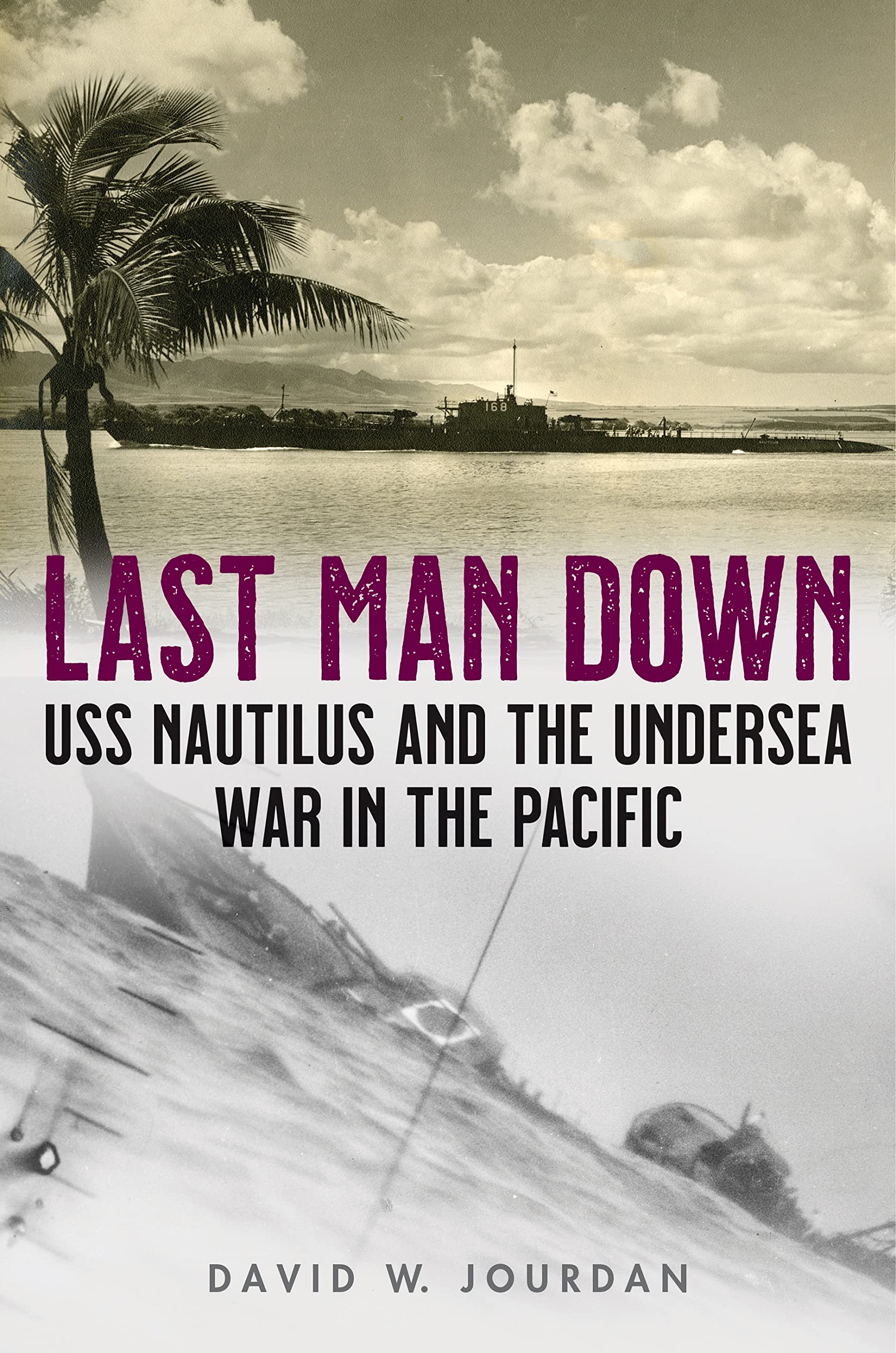

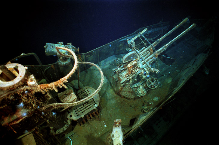
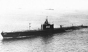 Late December 1942 saw the evacuation of Manila, and Allied forces led by General Douglas MacArthur were in full retreat down the Bataan Peninsula. By January, just weeks after the Pearl Harbor attack that started the Pacific war, the situation in the Philippines was dire, with remaining forces preparing to make a last stand on the island fortress of Corregidor. The 13,000 American and Filipino troops and thousands of fleeing civilians were desperate for food, medical supplies, and ammunition. A particular need was anti-aircraft shells to stem the deluge of bombs falling on Allied positions. A naval and air blockade prevented supply ships from approaching, so the Navy called on the submarine force to help. USS Trout (SS-202), commanded by Mike Fenno, was loaded at Pearl Harbor with 3,500 rounds of vital munitions, and slipped into Manila Bay on 3 February under cover of darkness. Weaving a winding passage through a minefield, the boat reached the docks and quickly unloaded her cargo. Having removed most of her ballast and even torpedoes to make room for the cargo, Fenno had a problem: he needed to add weight to be able to submerge. He drew ten torpedoes from the stocks salvaged from the base at Manila, and 27,000 gallons of fuel oil, but was still over twenty tons too light. He requested twenty-five tons of sandbags but was denied, as sandbags were a precious commodity on Corregidor, used to construct defensive positions. The defenders offered an alternative, something very heavy that was quite valueless to them: twenty tons of gold and silver that had been removed from Manila banks to the island fortress for safekeeping.
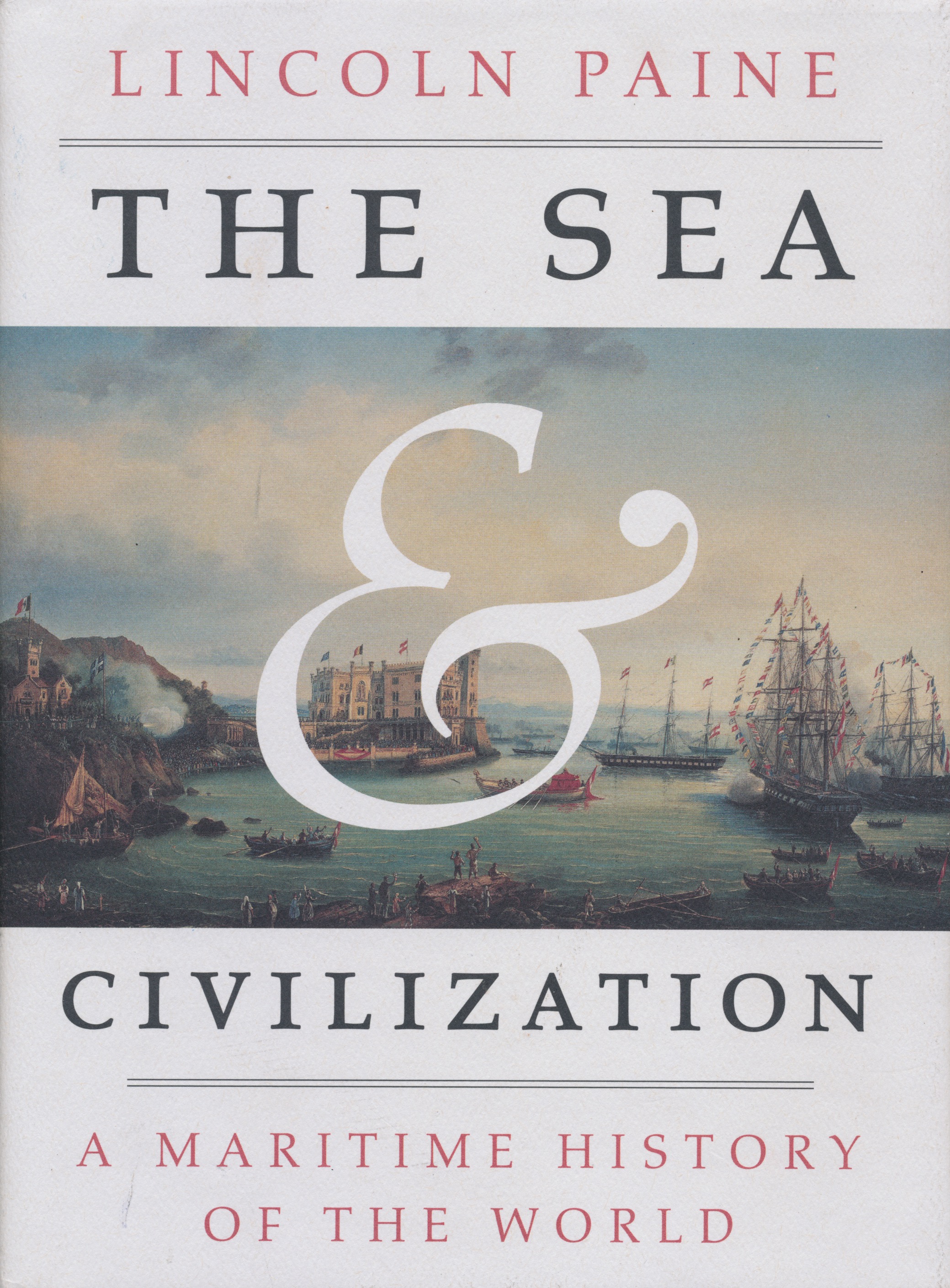 Portland Maine author and historian Lincoln Paine’s award winning opus